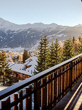
Google Brings Street View Trekker to Verbier
Google trekker to map Verbier trails and mountain refuge locations
Google’s Street View backpack is set to ascend into the mountain trails around Verbier as part of Google's quest to map the world over.
Working closely with Swiss Alpine Club, Google want to start capturing images using their with 360° panoramic backpack camera.
The Google maps trekker will allow interactive 360-degree imagery of the trails around Verbier allowing users to explore the region from their computer or smartphone, planning their next hike or bike ride.
Google have already started mapping ski runs in the resorts of Chamonix, Meribel and Les 2 Alpes.
If anyone is interested in participating in the Google trekker project you can sign up here.


